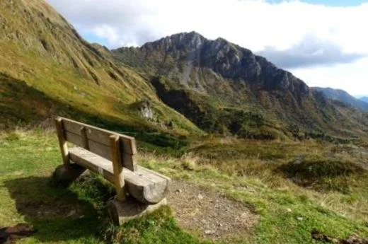
The Pramosio Pass is a Carnic Alps crossing on the border between Italy and Austria, at around 1,792 metres, near Paluzza. It is loved for its alpine scenery, its history and its many hiking options.
How to get there
- By car: from Paluzza take the SS 52 bis towards Cleulis, then about 8 km of dirt road through the Pramosio Forest (a vehicle with good ground clearance is best).
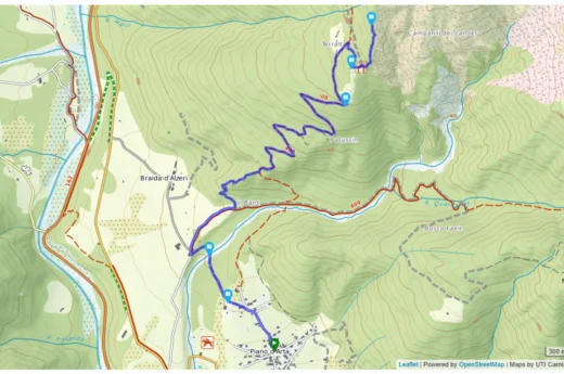
- By mountain bike: from Paluzza along mule tracks and forest roads with moderate gradients up to the Morgante hut and Lake Avostanis; on the way down, technical single tracks with views over the But valley.
Main trails
- CAI 402: from Malga Pramosio to Lake Avostanis (1,936 m) in 1.5–2 hours, through meadows with views of the peaks.
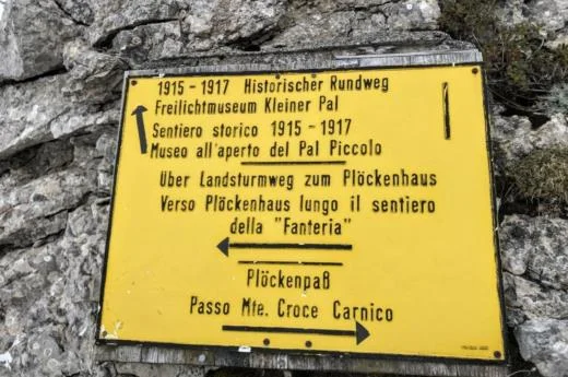
- CAI 448 and 448A: more demanding, towards Monte Cuestalta (2,198 m) and Creta di Timau (2,217 m), with exposed sections and remains of the Great War.
- Traverse to Monte Scarniz (2,118 m): a panoramic route along flower-covered ridges steeped in history.
Malga Pramosio offers a farm restaurant with typical dishes and a shop selling yoghurt, ricotta and aged cheeses, with a large car park. Casera Pramosio Alta (1,950 m) is used as a bivouac; the Morgante hut is a stop for hikers and bikers.