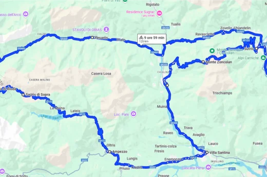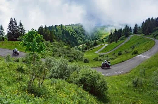
The tour starts from Piano d’Arta Terme and reaches Ravascletto, in a sunny basin between Monte Crostis and the Zoncolan and Tamai mountains. From here you climb onto the Panoramica delle vette: 35 km, seven of them above 2,000 m below the summit of the Crostis. It is the highest road open to traffic in Friuli Venezia Giulia, linking Ravascletto to Tualis di Comeglians, and is open only in summer (check whether it is passable with the Ravascletto Tourist Office).
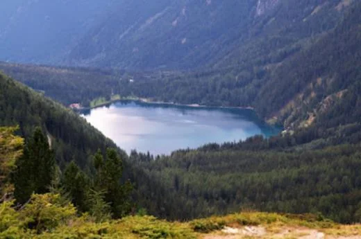
Descending from Comeglians you reach Pesariis, in the Val Pesarina, the “Valley of Time”, with its monumental clocks. Continue on the SS465 to Forcella Lavardet, on the border with Veneto, and on the SP619 towards Sella di Rioda. On the way back, along the SP73, you come to Sauris, an alpine village that preserves ancient traditions; descend via Sauris di Sotto, La Maina and Lateis to Ampezzo and then along the SS52 towards Villa Santina.
From Ovaro the SP123 leads to the top of Monte Zoncolan: less than 11 km, 1,210 m of elevation gain, an average gradient of 11.5% with peaks of 20%. The side towards Sutrio is less steep but full of hairpins; from Sutrio you return to Arta Terme along the SS52.